Precision Mapping & Boundary Demarcation
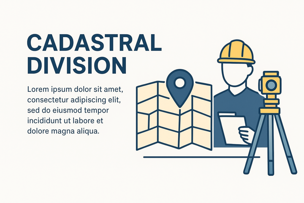
This project focuses on conducting a detailed cadastral survey to establish accurate land boundaries, ownership details, and property divisions. Using advanced surveying techniques and geospatial tools, the survey ensures reliable land records for legal, developmental, and planning purposes. The cadastral survey enhances land administration, reduces disputes, and supports sustainable land management.
Comprehensive Cadastral Survey & Land Records Management
The Cadastral Survey Division specializes in precise measurement, mapping, and documentation of land parcels. By integrating modern surveying equipment with GIS technology, the division provides accurate boundary demarcation, ownership verification, and land record updates. These services are essential for urban planning, rural development, dispute resolution, and effective land administration.
-
Beyond Your
Expect -
Quality
Materials -
Interior
Design


What You Receive From Us?
You are nothing witout your set eyes care set injury magna consectr elit, do eiusmod tempor incididunt or ut labore aree eyecare dolore aliqua.aliqua. Utse set injury magna consectr.