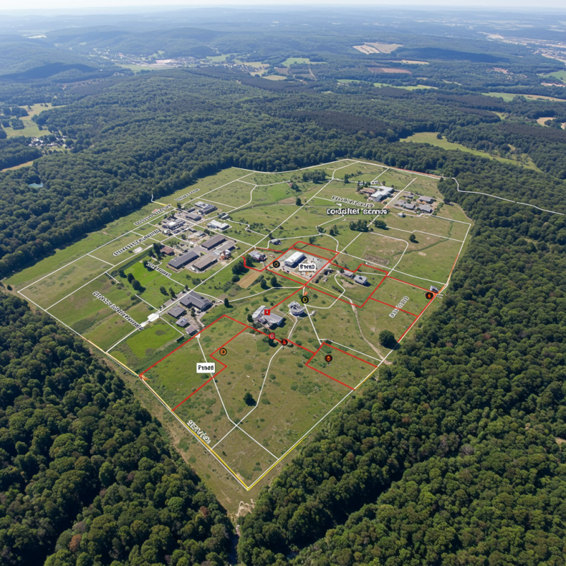
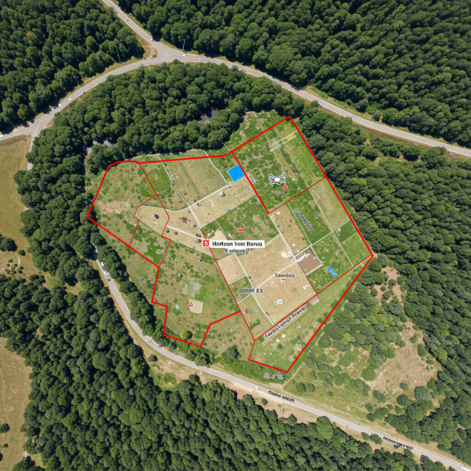
Precision Mapping from the Sky
The Drone Aerial Survey Division offers advanced aerial mapping and monitoring solutions using high-resolution drones. This technology enables accurate topographic surveys, land use analysis, construction monitoring, and environmental assessment with speed and efficiency. Drone-based surveys provide cost-effective, real-time data collection to support decision-making in engineering, agriculture, mining, and urban development.
Smart Drone Surveying & Geospatial Intelligence
The Drone Aerial Survey Division specializes in capturing high-accuracy aerial data for mapping, inspection, and analysis. Using UAV technology integrated with GIS and photogrammetry, the division delivers detailed 2D/3D models, terrain maps, and site monitoring solutions. These surveys reduce time, cost, and risks while providing reliable insights for infrastructure development, land management, and environmental projects.
-
Beyond Your
Expect -
Quality
Materials -
Interior
Design


What You Receive From Us?
You are nothing witout your set eyes care set injury magna consectr elit, do eiusmod tempor incididunt or ut labore aree eyecare dolore aliqua.aliqua. Utse set injury magna consectr.