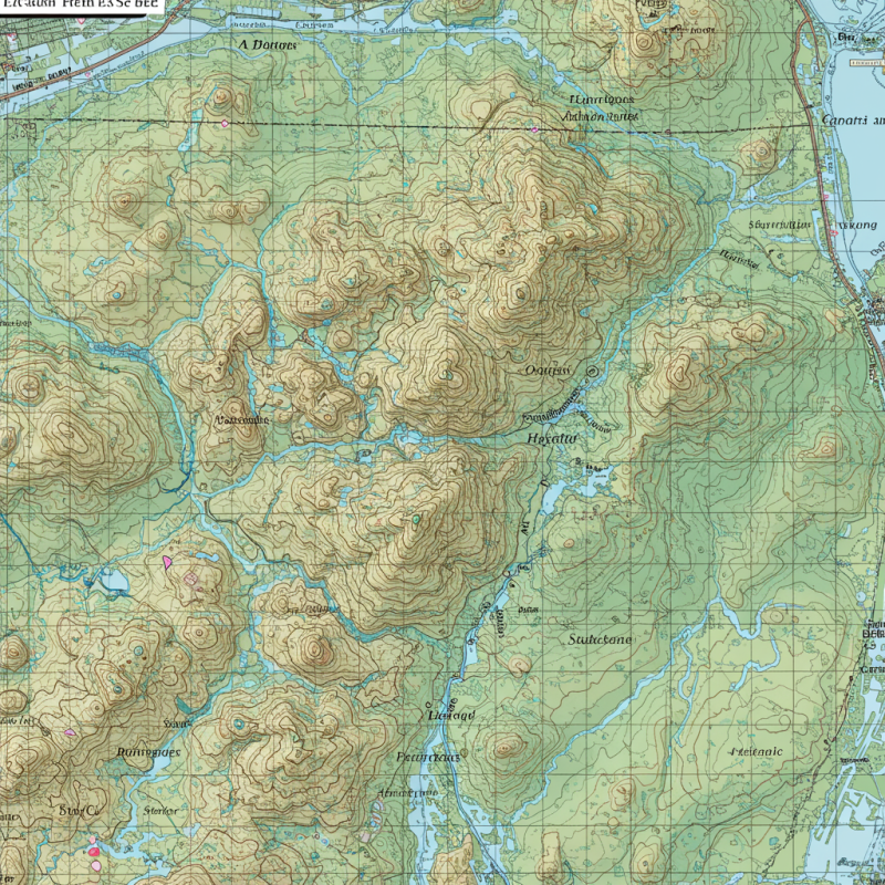
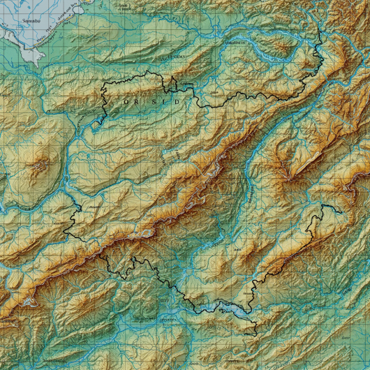
Accurate Terrain Mapping & Analysis
The Topographic Survey Division provides precise mapping of natural and man-made features, including elevations, contours, and landforms. Using advanced surveying instruments and geospatial technologies, the division creates detailed terrain maps essential for construction planning, infrastructure development, land use management, and environmental studie
Detailed Landform Survey & Elevation Mapping
The Topographic Survey Division specializes in capturing the contours, elevations, and physical features of land with high precision. By combining traditional surveying methods with modern GIS and drone technologies, the division delivers accurate topographic maps that support site planning, infrastructure design, water resource management, and environmental conservation. These surveys form the foundation for reliable and sustainable development projects.
-
Beyond Your
Expect -
Quality
Materials -
Interior
Design


What You Receive From Us?
You are nothing witout your set eyes care set injury magna consectr elit, do eiusmod tempor incididunt or ut labore aree eyecare dolore aliqua.aliqua. Utse set injury magna consectr.